Manning's Pit


The Manning's Pit Fields


These fields are on the edge of the villages of Pilton, and Bradiford, which are themselves on the edge of the town of Barnstaple, in North Devon. The field that is called Manning's Pit is on the left of the map, and the public footpath to Anchor Mill passes through it from the Lynbro Road entrance. Access from Windsor Road had also been used through a stile for as long as living memory goes back, but was blocked off about two years ago. There is another public footpath down Shearford Lane.
The fields beyond, not included in the map, are also known locally as part of the general Manning's Pit area. They lead to Tutshill Woods. They are in the SSSI and on the flood plain so not threatened by development, for now anyway, but if building is permitted in the fields above they would be badly affected, and all sense of tranquility would be lost..

The photographs below link to locations on the map.

Snowballing

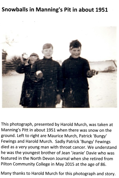
Two boys snowballing in Manning's Pit in 1951
Sledging

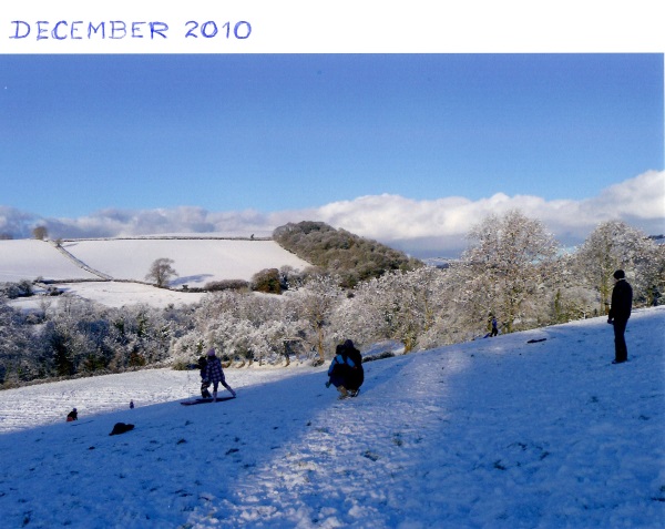
Sledging in Manning's Pit 2009
men versus women football game

Women's team for Men versus Women Football match, 1977
Rope swing
 The rope swing above the river

Manning's Pit bridge
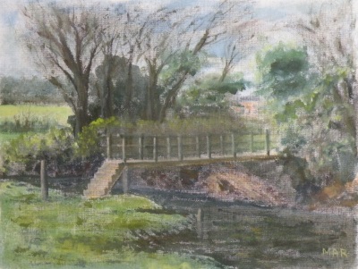
The Manning's Pit bridge, from oil sketch by Margaret Reed

Egg rolling
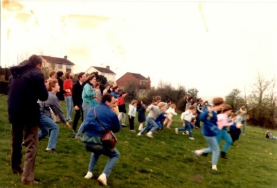
Egg pacing in Manning's Pit, around 1986
Old Stone Bridge
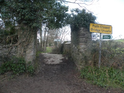
The Old Stone Bridge
Bridge towards Tutshill
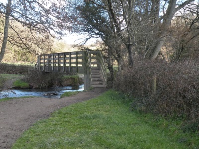
The Bridge on the footpath towards Tutshill Woods, just outside area sold, but would be badly impacted by building
close by.