Where is Manning's Pit and how can you find
it?
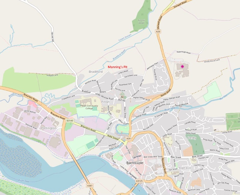
The map above (source- openstreetmap) shows the Pilton and Bradiford area to the North West of Barnstaple. Manning's Pit (red on the map) is on the edge of Pilton and Bradiford, and the field that bears this name is bordered by Windsor Road and Lynbro Road. The main entrance is from Lynbro Road. A footpath runs down from Lynbro Road to the Manning's Pit bridge, and across Clothesline Meadow, the field beyond, to Anchor Mill. This footpath was used in Victorian times by those who worked or had business at the Mill. If you are coming from further away, you can approach Manning's Pit from several directions, for example up Chaddiford, Bellaire and Northfield Lanes if you are coming from the Braunton direction, or down Westaway Plain and Northfield Lane if coming from North Devon Hospital. To get to Lynbro Road from Northfield Lane, you turn into the aptly named Manning's Way. You can find Lynbro Road on Google Maps, and the nearest postcode to the entrance is EX31 1QG. The short footpath that goes down to the field from the left end of Lynbro Road ends at a kissing gate which is the entrance to Manning's Pit. The map below links to a map that shows the location in more detail: |
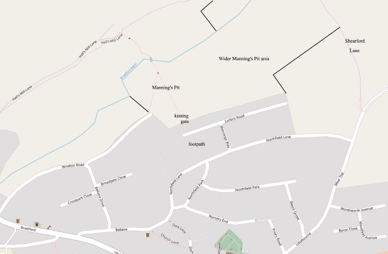
Map of Pilton showing Lynbro Road and Manning's Way
(source- openstreetmap)
This map (below) shows the area of land that is under threat,
with more details about it.
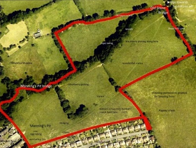
| Map showing the land that was purchased by the speculators who wish to gain Planning Permission for building on Manning's Pit. Click for link to larger map and information about the way Manning's Pit has been used over the years by the local community. |
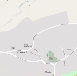
Finally, a couple of maps showing the Manning's Pit area in Historical Times
|

|
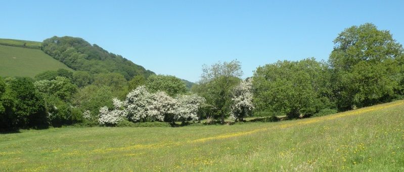
What exactly is Manning's Pit?
| Manning's
Pit is the name given to the field shown below, at
the edge of Pilton, a village that is now joined
to Barnstaple in North Devon. The name is also
used to describe the area made up of Manning's Pit
and the adjoining fields that are part of the
Bradiford Valley. |
| When
the Pilton Estate was sold in 1849, the field we
now know as Manning's Pit was a part of a larger
field, or collection of fields, called
Northfields, or North Field, but by the beginning
of the twentieth century, if not well before, it
was called Manning's Pit by locals. These fields
have been loved by generations of local people,
and they are part of what Saki's sister, Ethel
Munro, called "the countryside we
loved." They are also a haven for
wildlife, including otters, kingfishers, dormice
and Horseshoe bats, as the Ecological
report that we commissioned makes clear. Why is it called Manning's Pit? It seems virtually certain that the field became known as Manning's Pit for two reasons. The first is its association with Benjamin Manning and his family business (they leased it) the second the fact that there was a hollow - described as a Pit - at the bottom of the field. |